Key Takeaways
- A prescription map controls the variable application of products across a field, saving money and enhancing crop health.
- To create a prescription map, gather data, convert images into zones, build the prescription, and refine it.
- Export the prescription map in compatible formats like GeoTIFF or ISOXML, then transfer it to your drones and sprayers.
- Prescription maps help address common crop issues like uneven emergence and nitrogen deficiency, and they target treatments where needed.
- Using prescription maps can reduce inputs and environmental impact while protecting yields and ensuring efficient application.
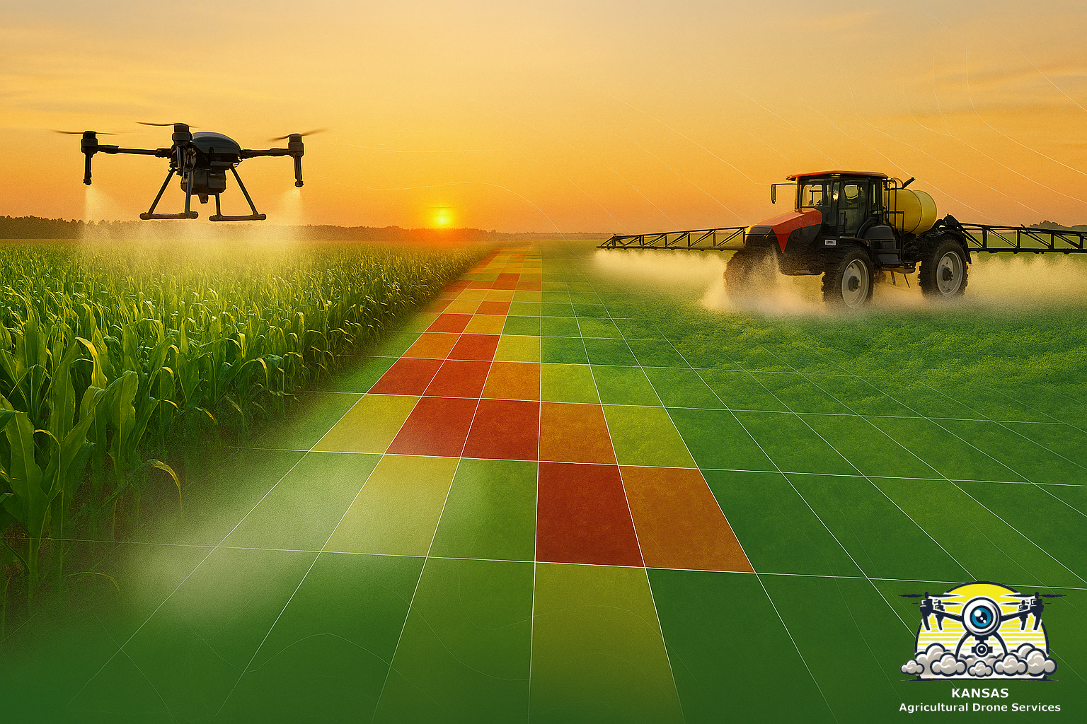
A prescription map (also called a variable‑rate map) controls where and how much a sprayer delivers product onto a crop. Think of it like a recipe for each part of a field: some areas need more, some need less, and some don’t need anything at all. You will still cover the entire field but will variably apply product based on some condition you’ve studied. Using prescription maps saves money, cuts chemical use, and helps crops grow better.
How prescription maps are made
1. Gather the data
- Images — Drones or satellites identify plant health using multispectral cameras.
- Yield maps — Combine last year’s harvest data to find low- and high-performing areas.
- Soil tests — pH, organic matter, and texture tell you where nutrients behave differently.
- Scouting notes — Walk the field and mark weeds, insects, or disease patches.
2. Turn images into zones
Special software reads the images and creates a plant health index like NDVI (a number that shows plant vigor). The software groups similar NDVI values into zones: low, medium, and high. Each zone gets a recommended spray rate. I currently use Pix4DFields for this unique processing.
The images below compare the NDVI (left) to a five-zone prescription map (right). The ground sprayer or spray drone changes the amount dispersed based on this prescription.


3. Build the prescription
The mapping tool converts zones into a file that links GPS coordinates to spray rates. That file is the prescription map. It can be exported as a GeoTIFF, Shapefile, or an ISOBUS/ISOXML prescription.
4. Check and refine
The image at right illustrates the application rate of each zone. This is computed based on an input (in this case the NDVI shown above). The number of zones and the application rate are completely flexible in this program.
It is important for you to review the map, compare it to your scouting notes, and adjust rates if needed. Keep the “human in the loop.”
Save the map with a clear name and date so you can track results.

How to transfer a prescription map to drones and sprayers
Export the right file format
- Drones often accept GeoTIFFs or mission files from mapping software. Check your manual.
- Ground sprayers usually accept Shapefiles, GeoTIFFs, or ISOXML prescriptions for ISOBUS-compatible monitors. Check your manual.
Move the file
- USB stick or SD card — You’ll plug it into the sprayer monitor or drone controller.
- Cloud portals — Some software, like Pix4DFields, allows an upload to John Deere Operations Center, Trimble. Or upload it to your drone platform and sync.
- Direct transfer — some systems let you send the file wirelessly to the monitor.
Before you run
- Load the map into the monitor and confirm field boundaries and guidance lines.
- Calibrate the sprayer or drone so the rate values match actual output.
- Do a test pass using water on a small area to confirm rates and coverage.
Common crop issues a prescription map helps fix
- Uneven emergence
- Nitrogen deficiency
- Weed patches and escapes
- Disease hot spots
- Insect damage
- Water stress (drought or waterlogging)
- Compaction or poor drainage zones
Why prescription maps matter for Midwest crops
Corn
- Watch for: nitrogen strips, early leaf yellowing, and stand gaps.
- How a prescription map helps: apply extra nitrogen or fungicide only where the crop shows stress. That saves money on fertilizer and can boost yield where it matters most.
Soybeans
- Watch for: uneven emergence, localized disease, and weed escapes.
- How a prescription map helps: spray herbicide in weed patches and target fungicide or insecticide to problem areas instead of treating the whole field at the same rate.
Alfalfa
- Watch for: uneven regrowth, insect patches, and disease in older stands.
- How a prescription map helps: protect high-value areas and avoid unnecessary passes that can stress plants and waste inputs.
Across all three crops prescription maps reduce fuel use, reduce spray drift by limiting where chemicals are applied, and save money.
Practical tips
- Start small. Try a prescription map on one field or one pass before scaling up.
- Name files clearly. Make a methodical system. It doesn’t matter what it is, just be consistent. Maybe use “PresMap – ” plus field name and date flown to make it easy to compare year to year.
- Combine scouting with maps. Drone maps point you where to walk; walking confirms what the map shows. Walk the field prior to application!
- Keep records. Save maps and results to learn what worked and what didn’t.
- Test before you trust. Always do a short test run to confirm the spray system is changing rates as you intend.
An example workflow
- Fly a multispectral drone over the field.
- Process images into NDVI and create zones in mapping software. Append spray rates for each type of zone.
- Export a GeoTIFF or ISOXML prescription.
- Copy the file to a USB and load it into the sprayer monitor.
- Calibrate the sprayer and run a test pass.
- Spray the field using the prescription map and record results.
Why this is good for your bottom line
This has been a lot of words to do something which comes through as muscle memory once done a few times. Using prescription maps is a simple way to realize some benefits from this new technology.
- Save on inputs. Only apply chemicals where they’re needed.
- Protect yield. Targeted treatments keep healthy areas healthy and rescue stressed areas.
- Reduce environmental impact. Less chemical use and less drift.
- Work smarter. Spend less time and fuel covering areas that don’t need treatment.
I think that coupling the capabilities of the multispectral drone and variable-rate delivery allows farmers to really spoon feed their crop – applying fertilizer, fungicide, or micronutrients at just the right amount at each location to increase success, all the while saving on input costs.
This is truly an amazing new capability. I hope that you will give prescription maps a thought when you plan your next season!