Drone Crop Scouting
-
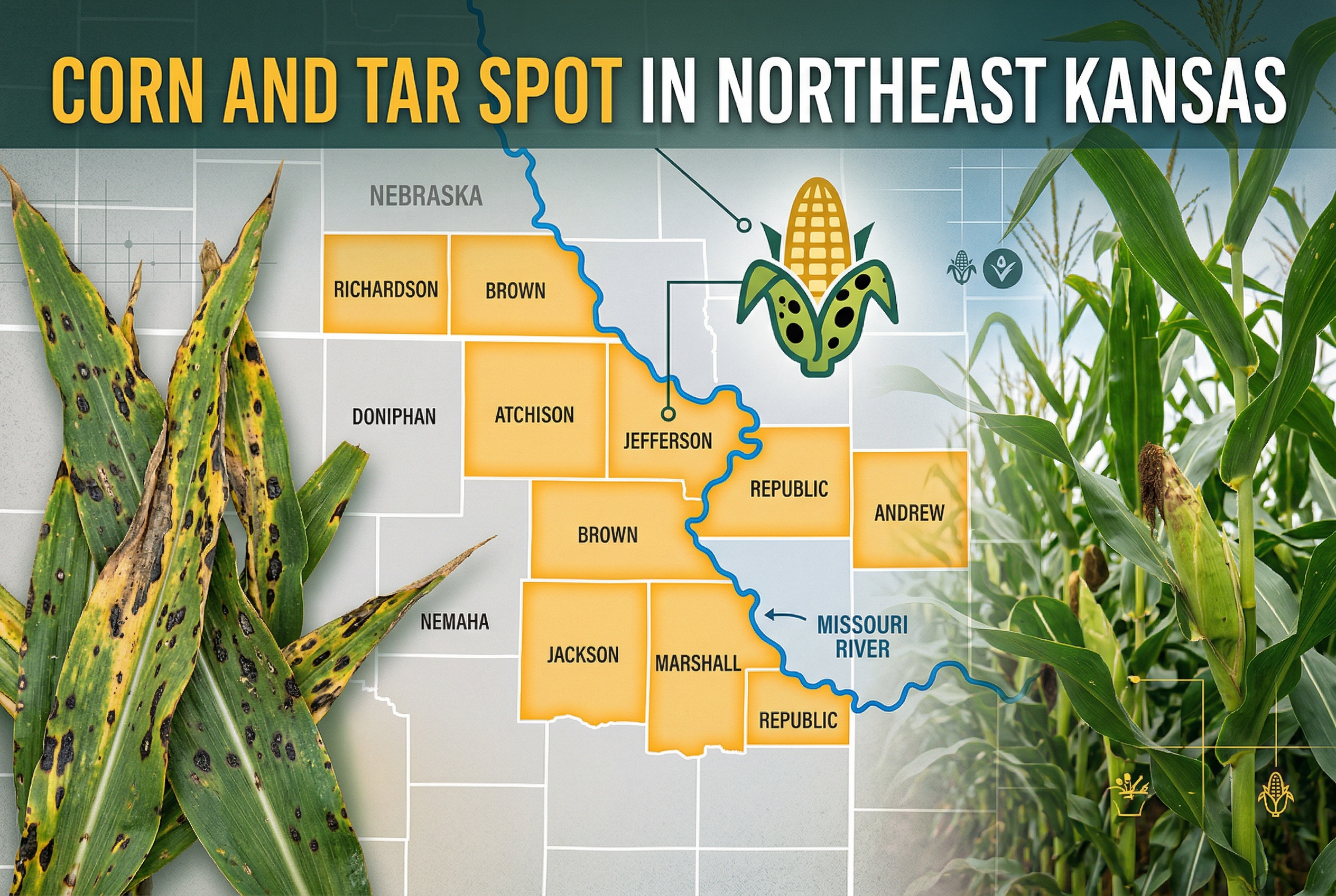
Corn and Tar Spot in Northeast Kansas
Tar spot has affected corn in northeast Kansas for three years, spreading earlier and causing significant yield losses. Farmers must scout and manage this disease proactively to mitigate its impacts.
-
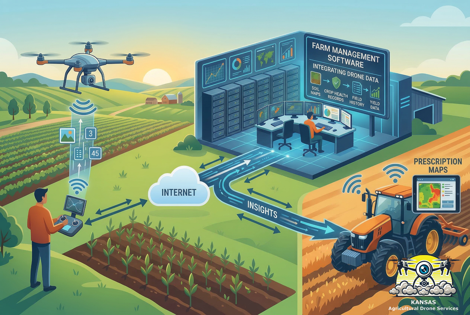
Integrating drone data with farm management software
Integrating drone data with farm management software enhances agricultural efficiency, offering valuable insights like crop health assessments and precise field mapping, ultimately leading to improved decision-making and cost reductions for farmers.
-
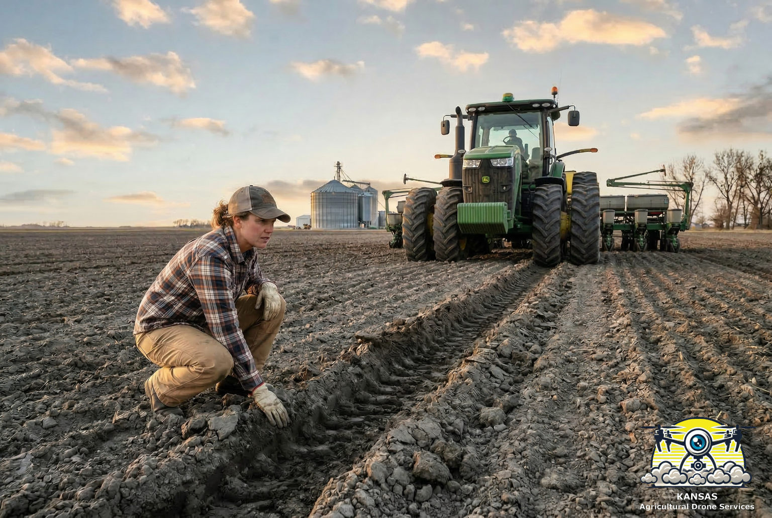
Soil Compaction: The Hidden Yield Killer
Soil compaction undermines crop yields and soil health, created by heavy modern equipment. Drones and biological products offer innovative solutions to reduce compaction and improve soil structure for better productivity.
-

Surprising! Agricultural Drones Can Reduce Your Tax
Agricultural drones may qualify for the U.S. Section 41 R&D Tax Credit, offering farmers potential tax savings of $20,000 to $300,000 when used for experimentation and improved farming practices.
-
Drone Photography for Crop Loss Claims
Drone photography is revolutionizing crop loss assessments by providing farmers with an efficient way to document damage, crucial for insurance claims. Drones capture high-quality aerial images, covering extensive areas swiftly and revealing damage patterns often invisible from the ground. This technology enhances crop insurance adjusters’ work by offering better visibility, accurate measurements, and timely evidence…
-
Can agricultural drones play a part in regenerative agriculture?
Agricultural drones enhance regenerative practices by improving soil health monitoring, enabling precise cover crop seeding, reducing chemical use, and optimizing livestock management, ultimately supporting sustainable farming systems.
-
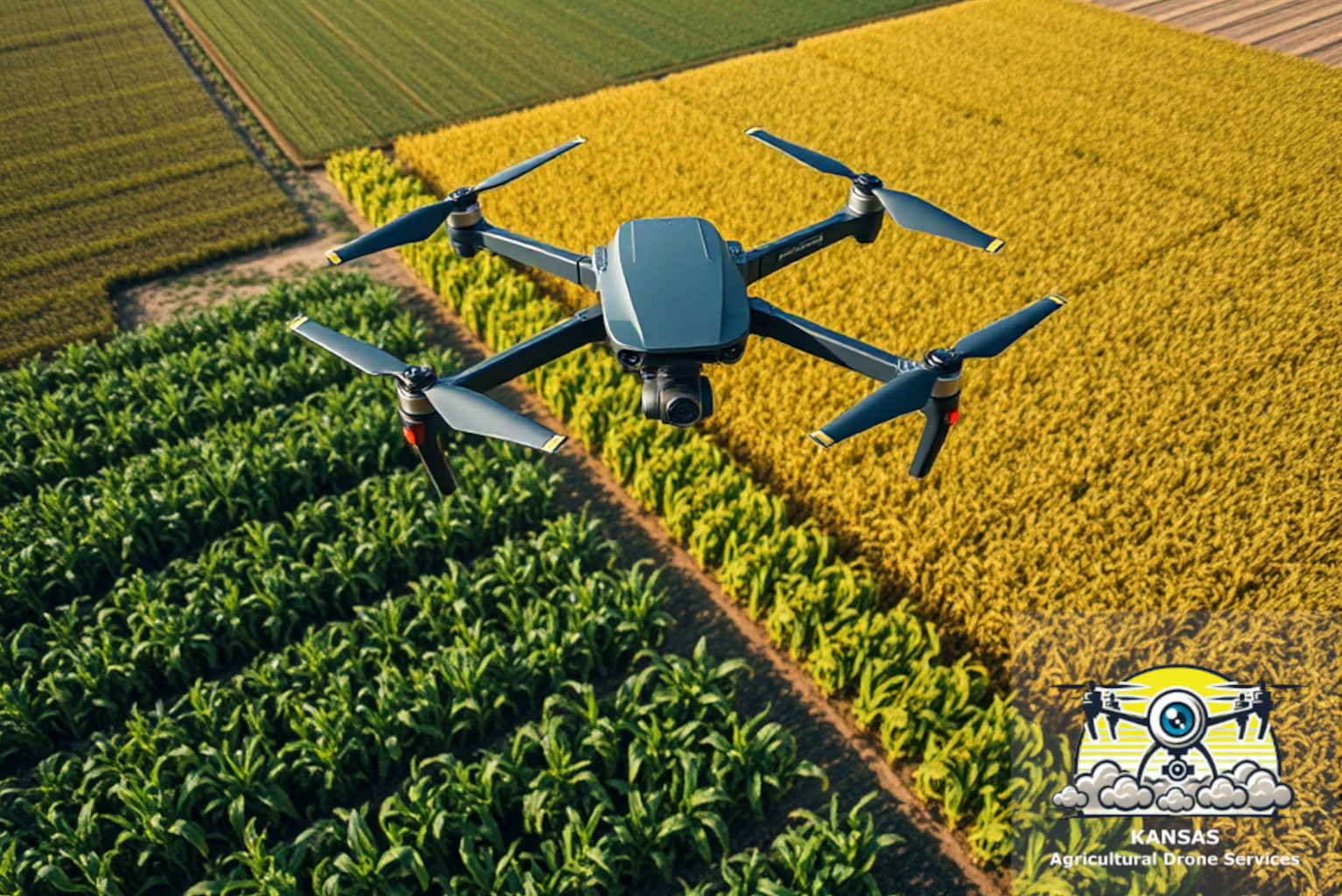
The Many Ways Agricultural Drones Improve Crops
Agricultural drones enhance farming efficiency by detecting crop issues early, managing diseases and pests precisely, ensuring optimal irrigation, mapping fields, and boosting yields while minimizing costs and environmental impact.
-
Prescription Maps: Spoon Feeding your Crop
Prescription maps optimize product application by addressing crop issues, reducing costs, and minimizing environmental impact. They involve data collection, zone creation, and targeted treatments for healthier crops.
-
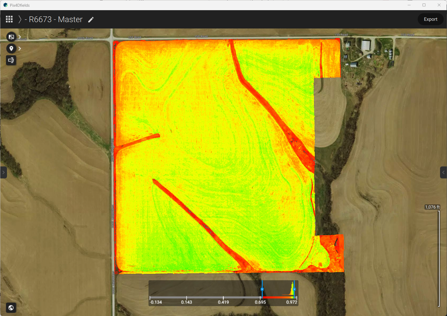
NDVI: The Farmer’s Early-Warning System
NDVI technology enhances crop monitoring by detecting plant stress early. This allows farmers to apply treatments efficiently, saving costs and protecting yields against diseases like southern rust and tar spot
-
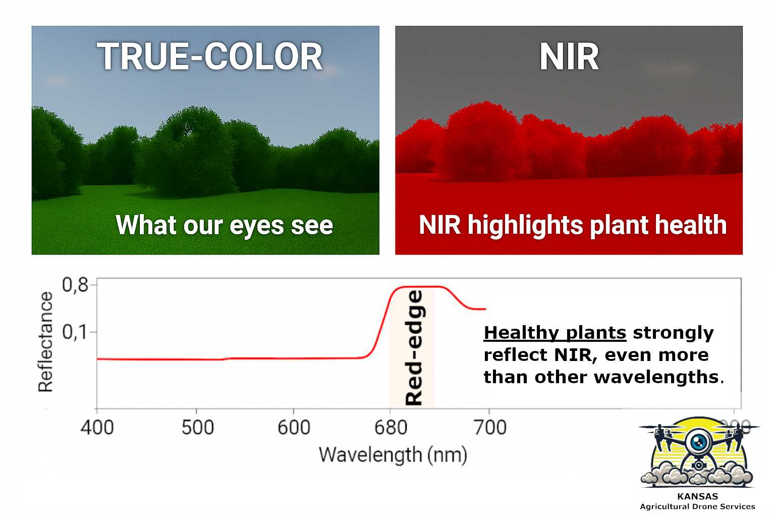
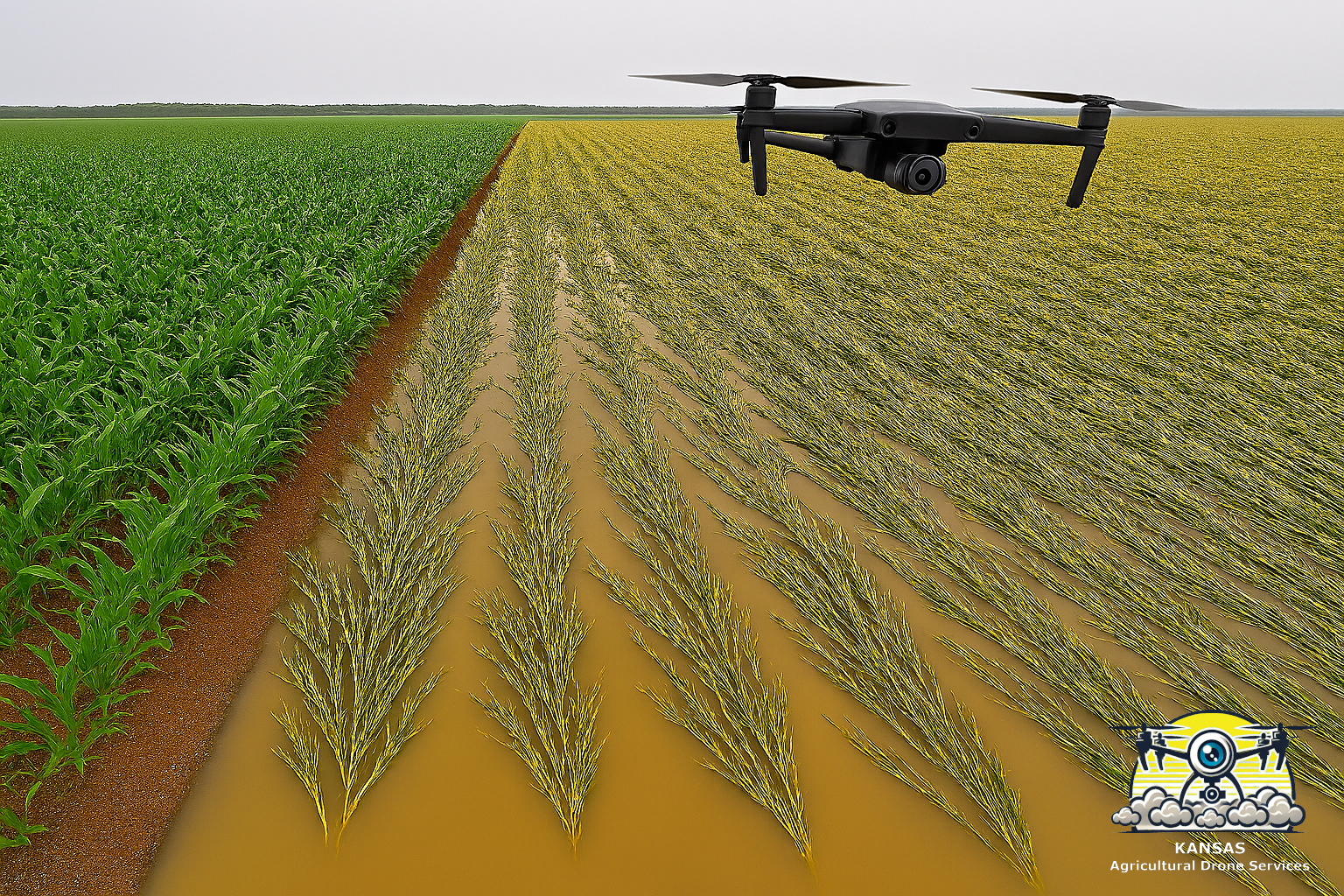
Digital Photography, Multispectral Scouting, and Seeing Beyond the Human Eye
Multispectral drones enhance crop scouting by utilizing additional channels to detect plant health signals unseen by the human eye, enabling early stress detection, precise problem identification, and efficient resource application for farmers.
-
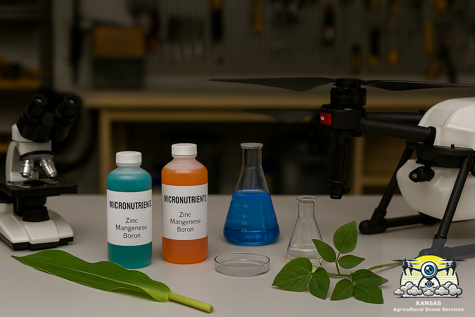
Drone-Applied Micronutrients for Central Midwest Corn and Soybeans
Agricultural drones enhance micronutrient applications for corn and soybeans by providing precision, speed, and minimal crop damage, resulting in improved yield and cost-effectiveness through targeted treatments during critical growth stages.
-
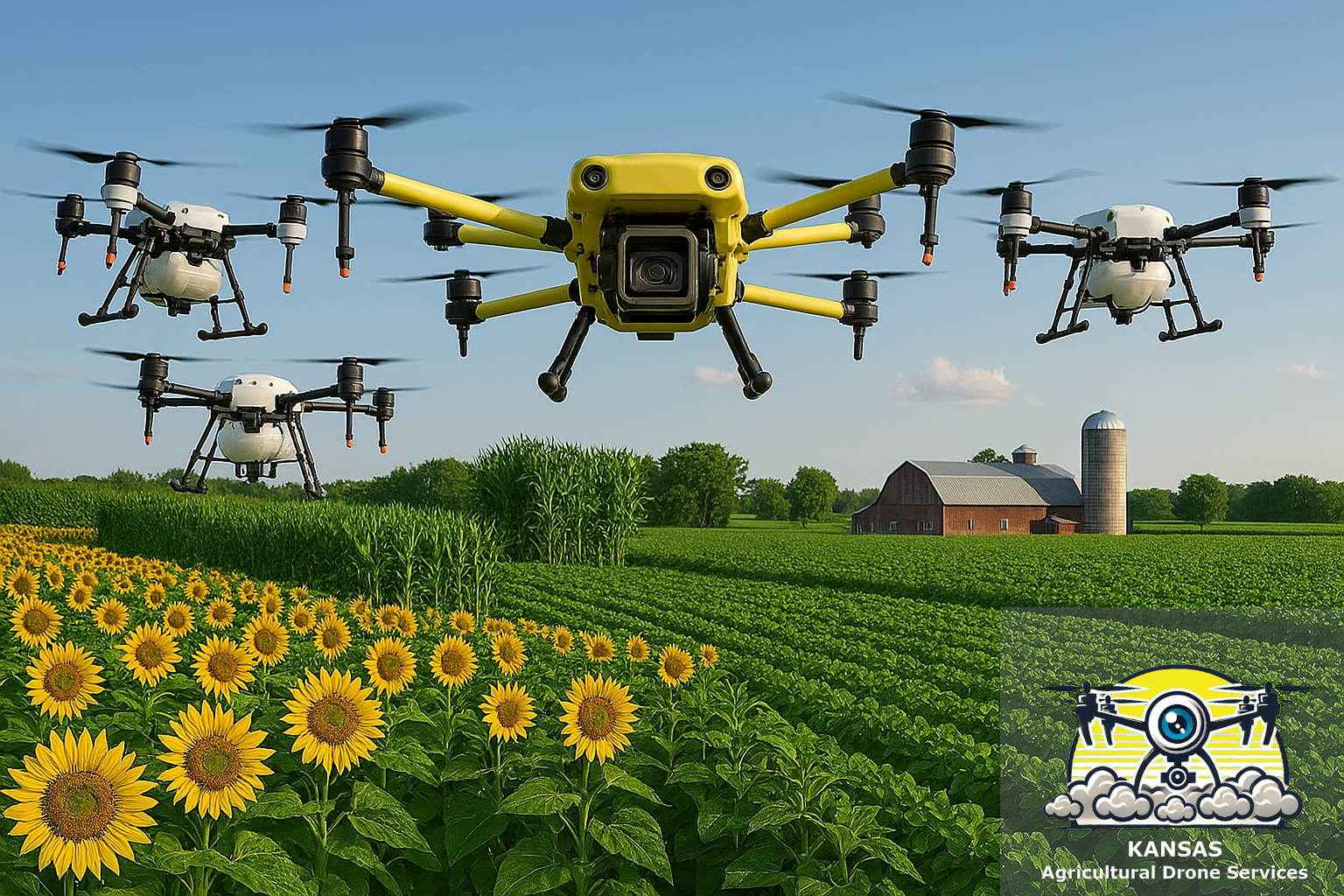
Better Farming with Drone Scouting
Multispectral crop monitoring via scouting drones enhances crop health understanding, enabling early issue detection and precise interventions. This augments traditional farmer wisdom, ultimately improving yields.
-
Launching KADS.TECH: Learn about Agricultural Drones and Precision Farm Technology
The website KADS.TECH is a new platform for farmers offering clear, practical information about agricultural drones. It is an educational resource for farmers, addressing common questions about drones and tracking industry trends.