Key Takeaways
- Drone photography for crop loss helps farmers document damage effectively and provides clear evidence for insurance claims.
- Drones capture high-quality images and can cover large areas quickly, revealing patterns of damage not visible from the ground.
- Using drone photos improves the efficiency of crop insurance adjusters by providing better visibility and more accurate measurements.
- Farmers can use drone images in claims by capturing photos promptly, labeling them, and sharing them with their adjuster.
- The future will likely see increased reliance on drone technology within crop insurance, leading to faster claims and automatic assessments.
When one of us experiences crop loss, it can feel overwhelming. Months of planning, planting, and caring for a field can be ruined by one storm, one pest outbreak, or one unexpected event. Floods! Don’t get me started. That’s why crop insurance is so important. It helps protect farmers when things go wrong. But to get a fair insurance claim, farmers need strong proof of what happened. Today, one of the best tools could be use of drone photography for crop loss assessments.
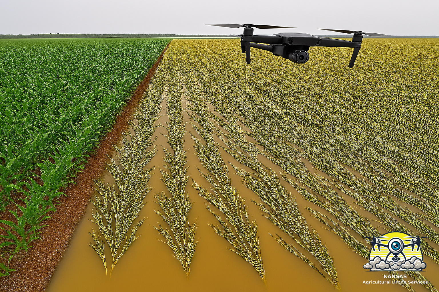
Drones make it easy to capture clear, detailed images of a field from above. These photos help show where the damage is, how big the affected area is, and how serious the crop loss might be. Because drones can fly low and take high‑quality pictures, they often reveal things that are hard to see from the ground.
Why Good Crop Loss Documentation Matters
Crop loss affects more than just one season. It impacts a farmer’s income, our ability to pay bills, and our plans for the next year. When a farmer files a crop insurance claim, the insurance company needs clear evidence of:
- What caused the damage
- How much of the field was affected
- When the damage occurred
- How severe the loss is
In the past, this meant walking the field with an adjuster and taking a few ground‑level photos. But this method doesn’t always show the full picture. You can’t see the entire field at once, and some damage patterns only make sense from above.
Drone photography solves these problems by giving a complete view of the field and capturing details that help support the claim.
How Drones Help After Crop Damage
Drones are becoming a normal part of modern farming. They are fast, affordable, and easy to use. When crop loss happens, drones offer several major benefits.
1. Fast Proof After a Storm or Disaster
Insurance companies want proof that the damage happened when the farmer says it did. Drone photos taken right after the event provide timestamped evidence.
This is especially helpful for:
- Hail
- Windstorms
- Flooding
- Tornado paths
- Early frost
A drone can fly the entire field in minutes and capture images that show exactly what happened.
2. Showing the Full Area of Crop Loss
Ground photos only show a small section. Drone photos show everything at once.
For example, drones can reveal:
- A large area of flattened corn
- A long streak of chemical drift
- Low spots where soybeans drowned
- Disease spreading across rows
These patterns are much easier to understand from the air.
3. High‑Quality Images for Insurance Claims
Modern drones take very sharp photos. Some even create maps that show plant health using special sensors. These maps can highlight stress areas that might not be visible from the ground.
This helps document:
- Disease
- Drought
- Pest pressure
- Nutrient problems
When farmers include these images in a crop insurance claim, it strengthens the case and reduces delays.
4. Before‑and‑After Evidence
One of the biggest advantages of drone photography is comparing the field before and after the damage. If a farmer has earlier drone photos, they can show:
- The crop was healthy before the event
- The damage happened suddenly
- The loss wasn’t caused by poor management
Insurance companies appreciate this kind of clear, organized evidence.
How Drone Photos Help Crop Insurance Adjusters
Crop insurance adjusters work hard, but they can’t walk every acre. Drone photos help them do their job more efficiently.
Better Visibility
Adjusters can review drone images before visiting the field, helping them understand what they’ll be inspecting.
More Accurate Measurements
Some drones can map the exact size of damaged areas, making loss calculations more precise.
Safer Inspections
Instead of walking through muddy or flooded fields, adjusters can rely on drone images.
Faster Claims
Clear evidence leads to quicker decisions and faster payouts.
Types of Crop Loss Drones Document Best
Drones are useful for almost any kind of crop damage, but they are especially effective for:
Hail Damage
Drone photos show bruising patterns and broken plants across the entire field.
Wind Damage
Wind can flatten or snap crops. Drones capture the exact areas affected.
Flooding
Drowned‑out spots and water paths are easy to see from above.
Drought Stress
Drones highlight patchy stress patterns across the field.
Chemical Drift
Drift often creates long, narrow streaks that are obvious in aerial photos.
Pest Damage
Insects like armyworms or rootworms leave visible patches that drones can map.
Disease
Diseases like tar spot or sudden death syndrome create patterns that drones can capture clearly.
How Farmers Can Use Drone Photos in a Crop Insurance Claim
Here’s a simple guide for using drone images in an insurance claim:
1. Capture Photos Quickly
Take drone photos as soon as possible after the damage.
2. Get Both Wide and Close‑Up Shots
Wide shots show the big picture; close‑ups show details.
3. Label Everything
Include the date, field name, crop type, and description of the damage.
4. Share With Your Adjuster
Most adjusters appreciate drone photos because they make the claim easier to review.
5. Keep Copies
Good records help if questions come up later.
Why This Topic Helps With SEO for Crop Loss and Crop Insurance
If you’re building online content for farmers, insurance agents, or ag service providers, drone photography is a strong SEO topic. People often search for:
- “crop loss”
- “crop insurance”
- “insurance claim”
- “crop damage documentation”
- “drone crop inspection”
Using these keywords naturally in articles helps websites rank higher and reach more people who need help.
The Future of Crop Insurance and Drone Technology
As drones become more common, crop insurance companies are starting to rely on them more. In the future, we may see:
- Automatic drone flights after storms
- AI tools that measure crop loss
- Standard drone reports for claims
- Faster payouts based on digital evidence
Farmers who use drones now will be ready for these changes.
Parting Thoughts
Drone photography is one of the best tools for documenting crop loss, supporting crop insurance, and strengthening an insurance claim. It helps farmers show exactly what happened, helps adjusters make fair decisions, and speeds up the entire process. For today’s farmers, drones are becoming just as important as other essential tools in the field.